


Professional geodetic and land surveying solutions for developers, landowners, and LGUs across Palawan.
Clients trust our accuracy, consistency, and commitment to delivering reliable survey outcomes.
For over 20 years, we’ve been delivering survey results that clients can trust—every project, every time.
WD Felizarta Engineering & Surveying Consultancy delivers end-to-end geodetic solutions powered by over 20 years of field practice, technical expertise, and regulatory familiarity. Led by Licensed Geodetic Engineer Wendell D. Felizarta, our firm provides accurate, compliant, and professionally validated outputs aligned with national standards and LGU requirements.
Our firm delivers precision-driven geodetic services tailored to the needs of landowners, developers, contractors, and local government units. From boundary verification to topographic mapping, we provide accurate, PRS92-compliant outputs that support smarter planning, regulatory compliance, and informed decision-making.
Establish and validate exact lot boundaries using approved technical descriptions.
Terrain mapping for roads, utilities, structures, and site development.
Accurate partitioning or merging for estate planning and development.
Shoreline mapping, bathymetry, and nearshore engineering support.
High-resolution orthophotos, 3D terrain models, DSM/DTM.
Technical descriptions, plans, and survey documentation for legal processing.
Get precise, compliant, and professionally documented results — every time.
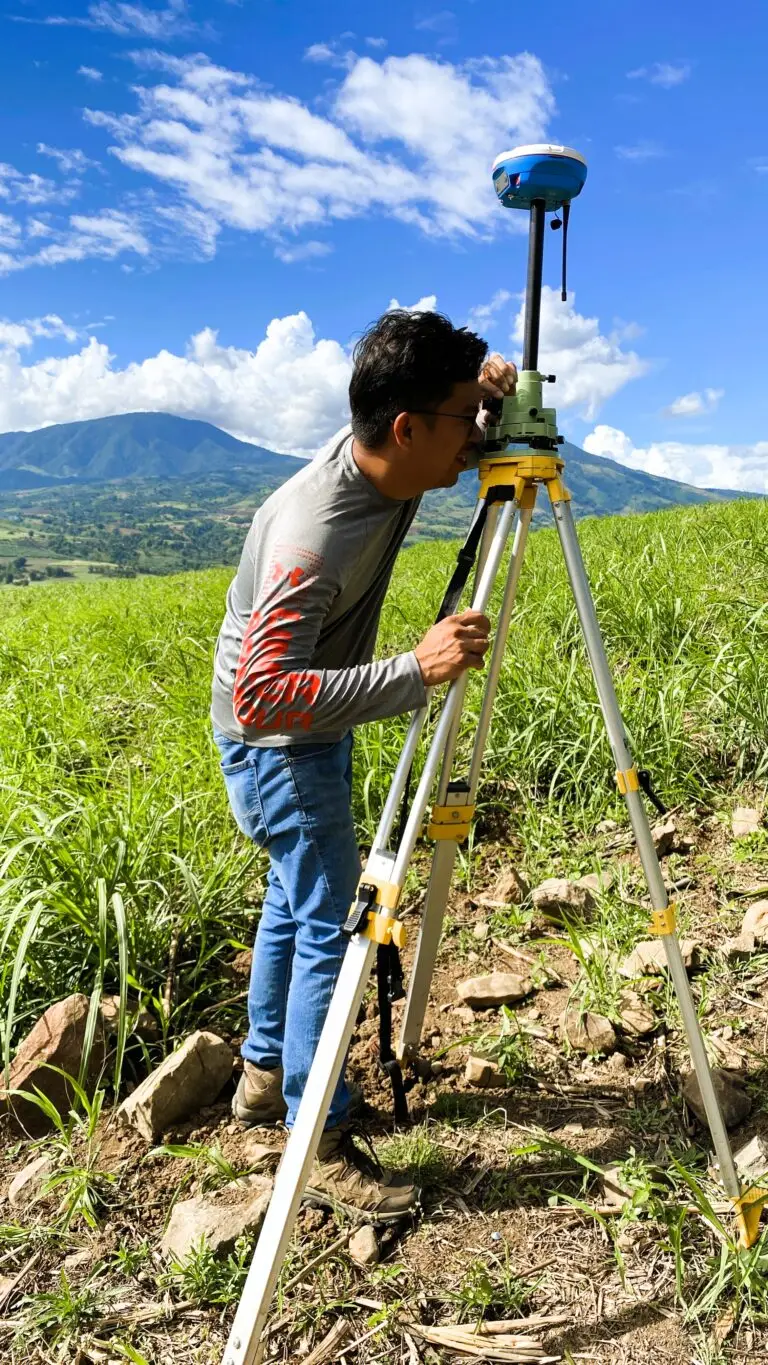
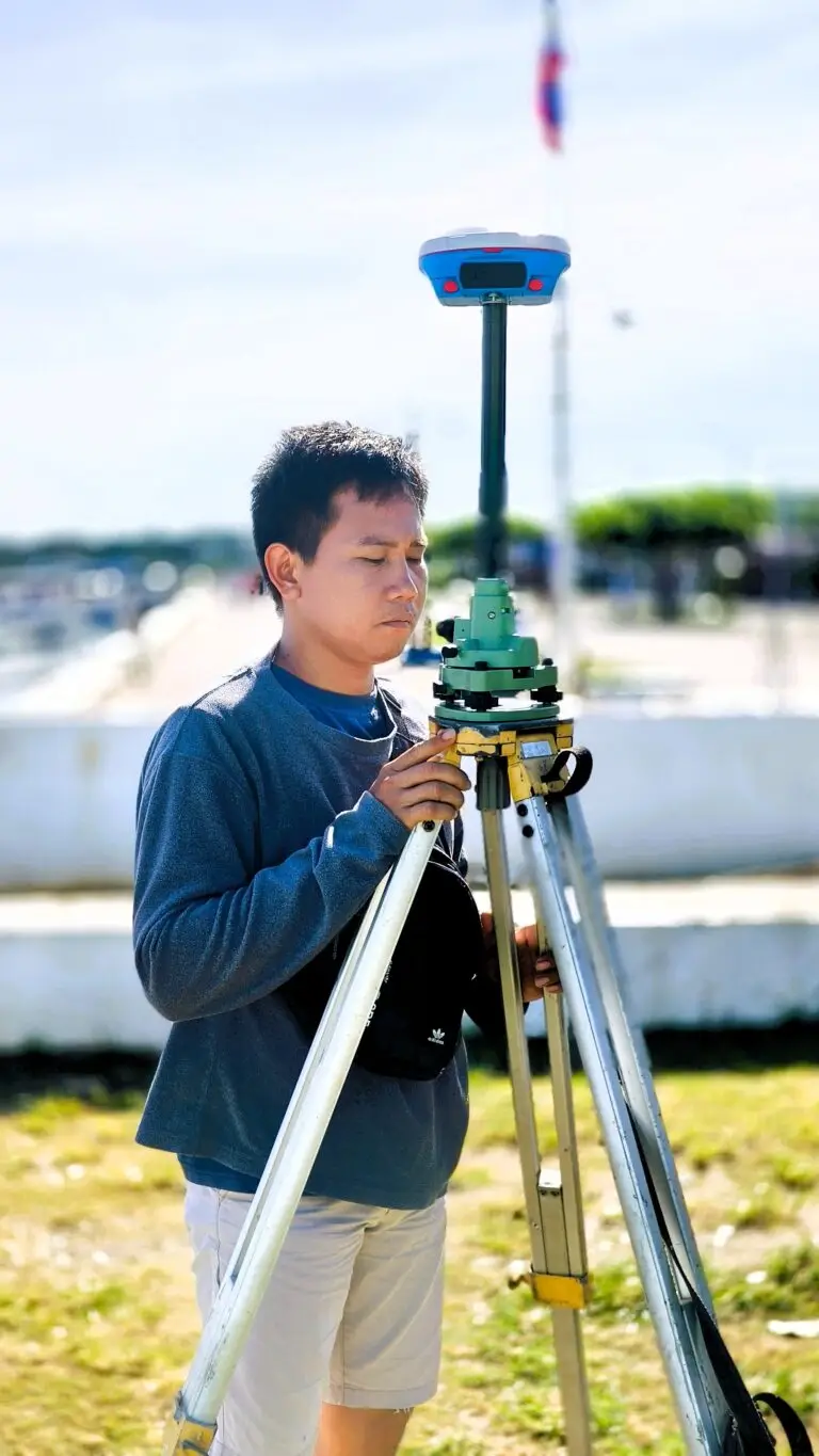
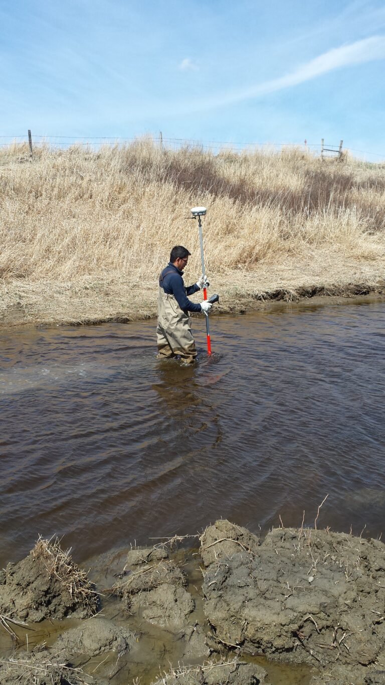
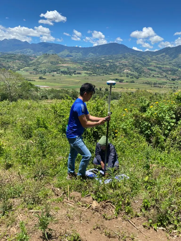
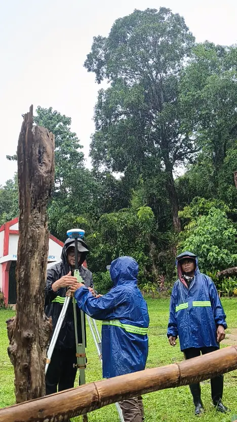
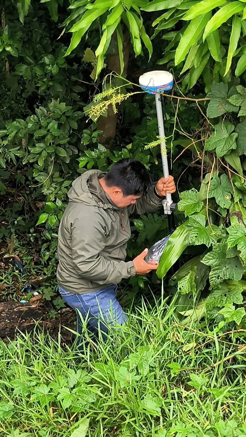
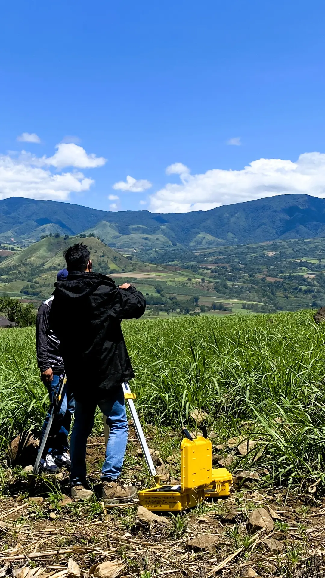
Our portfolio showcases a range of land and engineering surveys completed for landowners, developers, contractors, and LGUs across Palawan.
Each project reflects our commitment to accuracy, compliance, and professional geodetic practice.
Get accurate, compliant, and professionally validated survey results that support better decisions and faster project execution.